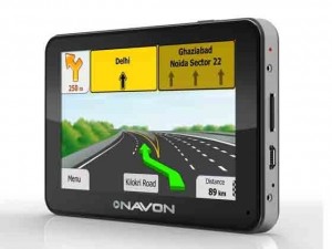
Car navigation helps in providing convenience and security but if you have lack of knowledge about it, here is the complete procedure on it.
The GPS or Global Positioning System is a system based on satellite navigation which, anyone who has a GPS receiver can access freely. This space based system has proven to be extremely useful to users all over the world, including the civil, military as well as commercial users. The GPS provides information about the time and location at anywhere on the surface of the earth or even near to it. For this mechanism to work relentlessly, at least four or more GPS Satellites should be available within permissible Geo-coordinates.
SatGuide and MapMyIndia
These are more widely available options in India with separate PNDs (Portable Navigation Device) and softwares, along with maps and packages for different mobile phones and mobile (portable) platforms.
MapMyIndia is the name that comes to mind when one is looking for quality digital maps, data, GIS, LBS or location based services, GPS. The MapMyIndia maps are the most updated, full featured, comprehensive, reliable and accurate. Digital mapping was pioneered in India by MapMyIndia. Since inception in 1995. MapMyIndia has taken the Indian LBS and navigation industry to a substantially improved level. It provides products as well as services on the internet, mobile, voice, print, TV, in-car, etc.

SatGuide is another leader in GPS navigation facilitating navigation services and products which are off-the-shelf or customizable. Be it GPS for computers, car navigation or mobile phones, SatGuide products offer adept solutions of GPS navigation for a variety of applications. Turn-by-turn directions require a good amount of accuracy which is achieved by the smart sensors used by SatGuide.
Garmin
Being probably the biggest GPS device manufacturer, is also available in India. The Garmin devices list is a very extensive one indeed. There is a good possibility of having on Garmin an OSM map. One can use a Garmin PND brought from the US and then mount on the External SD Card India maps. Or one can buy a Garmin PND along with Maps. This has long term significance as Garmin also provides lifetime updating of maps for devices which are bought in India.
NavFree
It is one of the finest softwares used in navigation which comes for free in an iPhone. This is how it works: the route of the journey has to be charted in the software. Once it is done, it starts working and tells the way, if / when the phone is not within the coverage area. It shows all the possible routes to the destination once the destination has been typed. One can select the route one wants to take after which it will highlight only the selected route. The voice system keeps giving directions on which way to turn, whether right or left, and also if the vehicle has taken the wrong direction or path. This helps the motorist to concentrate on driving without looking at the phone screen repeatedly. The feature to be highlighted here is that even if the motorist diverts from the proposed route, it first prompts that a wrong route has been taken. Yet, if the vehicle continues on the same diverted path, the software adjusts itself automatically and takes the new route. Finds out the alternate route to reach the destination, and also display the newly selected route, all automatically!
TomTom
It is another prominent in-car navigation supplier, launched in India not long ago. Its products, grease the wheels with landmarks, proper road names, lane guidance in almost all the towns and cities in India. The devices also feature voice controls, street names which are spoken and hands-free facility of calling via Bluetooth. After spending 10years in making Indian street maps, the India series of TomTom devices shall also include TomTom traffic updates which are meant to be extremely helpful to drivers. The devices shall also have an emergency menu called “Help Me” which would provide information about roadside assistance, hospitals, etc.

